Earthquake hit northern Iran on May 28, 2004 - first pre-disaster satellite map is available
undefined
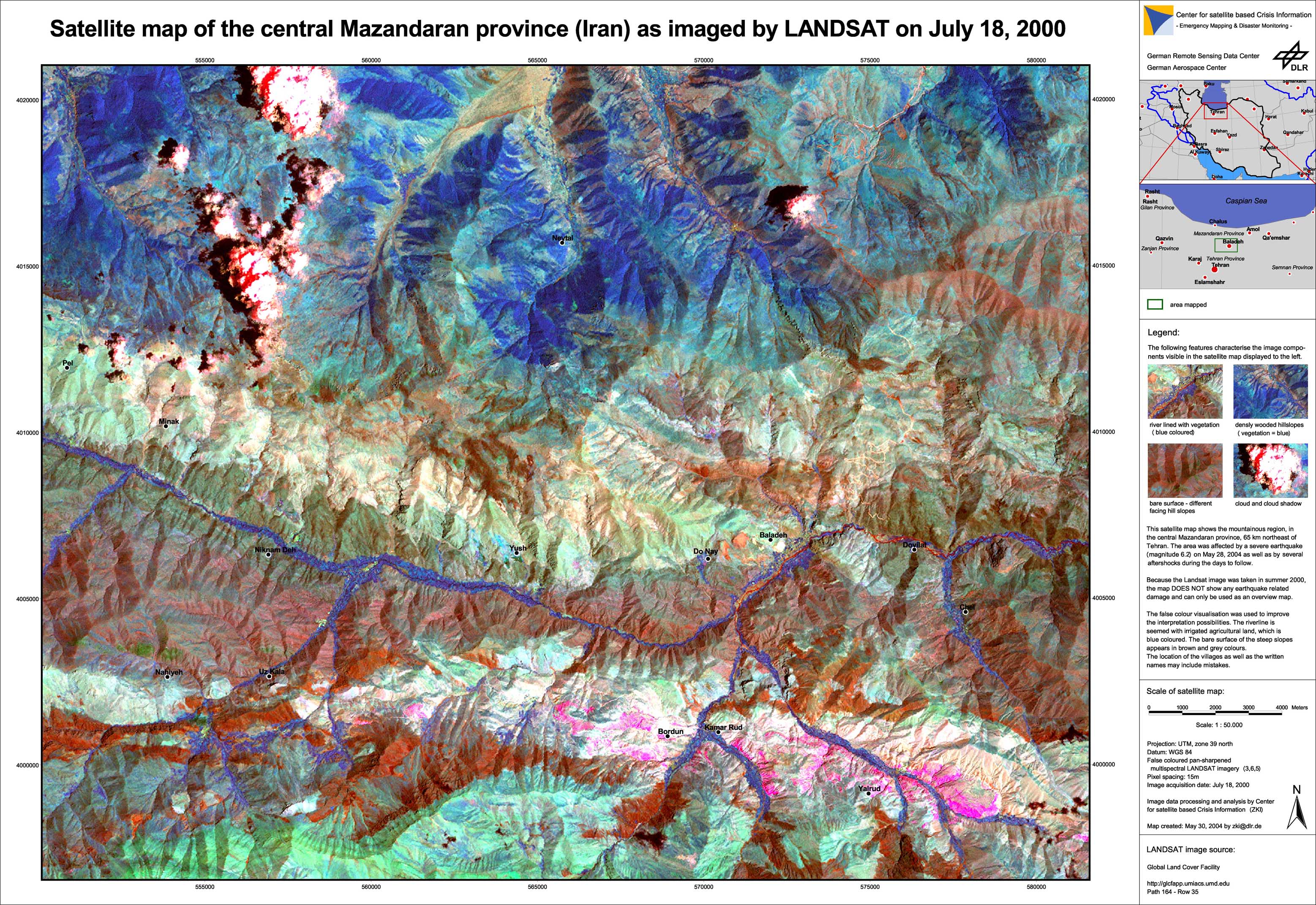
The central Mazandaran province, 65 km northeast of Tehran was affected by a severe earthquake (magnitude 6.2) on May 28, 2004 as well as by several aftershocks during the days to follow. On request of the German Federal Foreign Office, the International Charter on Space and Major Disasters was triggered.
Iran - P01 - Pre-disaster overview satellite map of the Baladeh region
Creation Date 30. May 2004
undefined