Earthquake in West Sumatra, Indonesia 2007
undefined
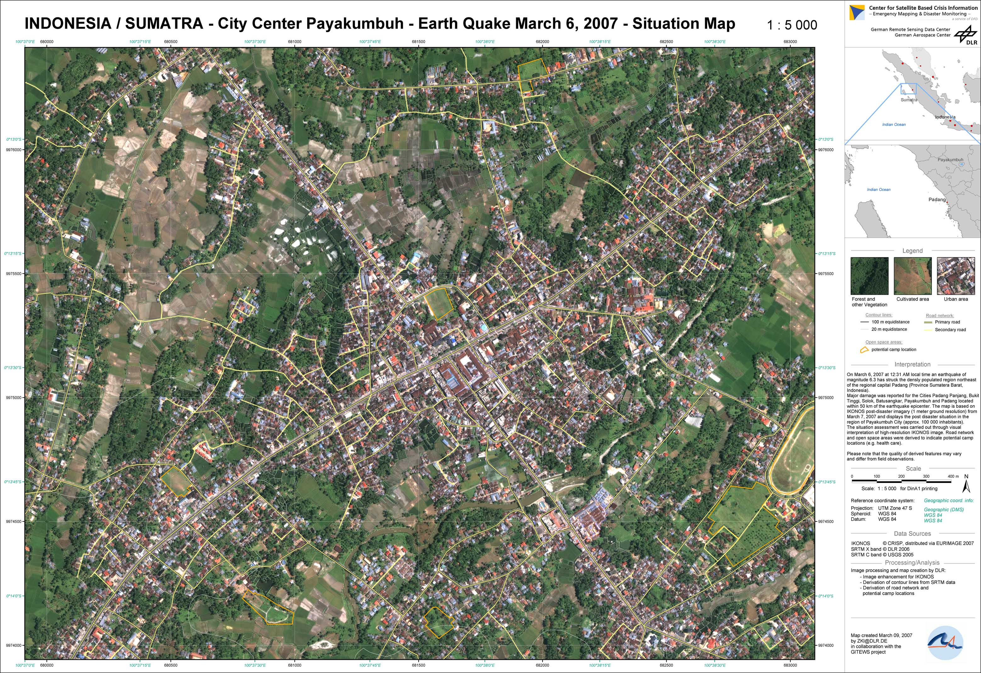
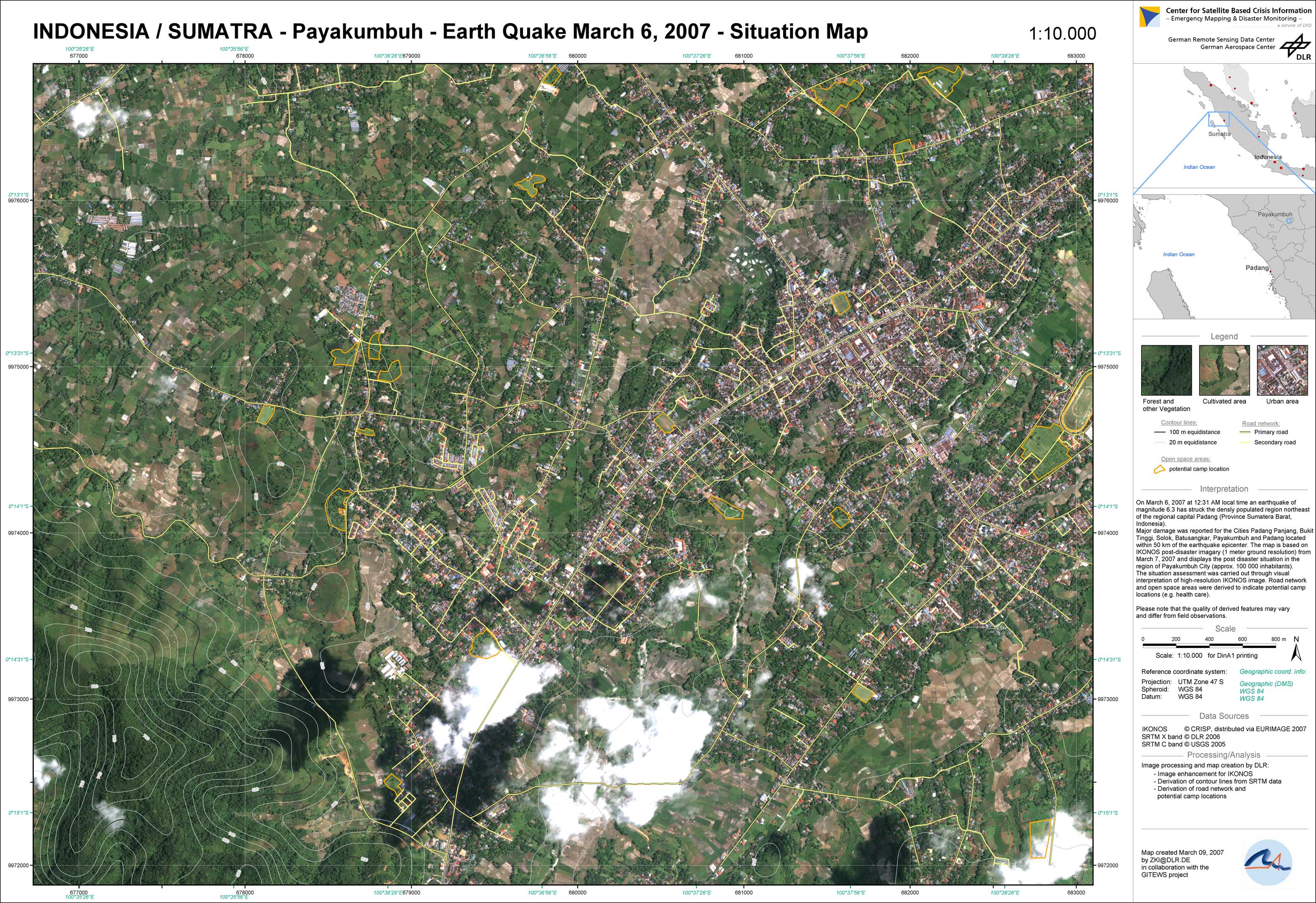
Two earthquakes occurred on March 6, 2007, at 10:49 am and 12:49 am local time, magnitude 6.2 and 6.3 (GEOFON) respectively, in the West Sumatra province of Indonesia and led to heavy destructions. The epicentre was located 16 km southwest of Batusangkar District and 55 km northeast of the regional capital Padang. Up to 73 dead people and approximately 4000 heavily damaged buildings were reported by the regional disaster management authority (March 9, 2007).The earthquakes had struck a densely populated region with major damages reported for the cities Padang Panjang, Bukit Tinggi, Solok, Batusangkar and Payakumbuh, located within 50 km distance of the earthquake epicenter. In order to support the relief agencies and local authorities, the GITEWS Project (German-Indonesian Tsunami Early Warning System) supported by the Center for Satellite Based Crisis Information (ZKI) of DLR produced post disaster situation maps after the event. These maps were based on very high-resolution IKONOS imagery (1 meter ground resolution) from March 7, 2007, and display the post disaster situation in the region of Payakumbuh City (approximately 100 000 inhabitants). The situation assessment was carried out through visual interpretation only. Road network and open space areas were derived to indicate potential camp locations (e.g. health care). Due to heavy cloud coverage after the earthquake, it was difficult to acquire optical satellite imagery over the affected area. Unfortunately, archive satellite imagery was not available for this area, so change detection and damage assessment could not be applied.
Indonesia - Earthquake in West Sumatra - P02 - Situation as of March 7, 2007 - Payakumbuh city center
Creation Date 09. March 2007
Indonesia - Earthquake in West Sumatra - P01 - Situation as of March 7, 2007 - Payakumbuh
Creation Date 09. March 2007
undefined