- Startseite
-
About us
-
Crisis Information
- Crisis Information
- Overview
- Mapping and Exercises
- Monitoring Services
-
Services and Projects
-
Latest
- EnglishDeutsch
- Accessibility
- Press
Flooding in Madeira on February 20, 2010
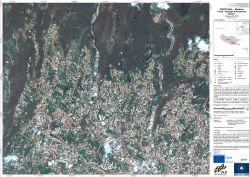
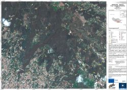
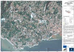
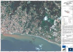
undefinedHeavy rainfall on Saturday, 20th of February caused floods and landslides on the Atlantic island of Madeira. At least 48 people were reported dead and 120 injured, while some were still missing. The higher parts of the capital Funchal were hit particularly bad where complete houses were swept away. Furthermore, many roads on the island were destroyed or blocked.This mapping activity was performed in the context of the GMES Emergency Response Project SAFER with funding from the European Community's Seventh Framework Programme.
Products
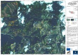
Portugal - Madeira - P08 - Curral Das Freiras, Damage Assessment Map Sheet 4
Creation Date 26. February 2010
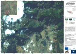
Portugal - Madeira - P07 - Curral Das Freiras, Damage Assessment Map Sheet 3
Creation Date 26. February 2010
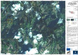
Portugal - Madeira - P06 - Curral Das Freiras, Damage Assessment Map Sheet 2
Creation Date 26. February 2010
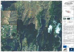
Portugal - Madeira - P05 - Curral Das Freiras, Damage Assessment Map Sheet 1
Creation Date 26. February 2010
Portugal - Madeira - P01 - Damage Assessment Map Sheet 1
Creation Date 24. February 2010
Portugal - Madeira - P02 - Damage Assessment Map Sheet 2
Creation Date 24. February 2010
Portugal - Madeira - P03 - Damage Assessment Map Sheet 3
Creation Date 24. February 2010
Portugal - Madeira - P04 - Damage Assessment Map Sheet 4
Creation Date 24. February 2010
Further links
