- Startseite
-
About us
-
Crisis Information
- Crisis Information
- Overview
- Mapping and Exercises
- Monitoring Services
-
Services and Projects
-
Latest
- EnglishDeutsch
- Accessibility
- Press
>
Crisis Information>
Mapping and Exercises>
Earthquake in the Qinghai province in China on April 14, 2010
Startseite
>
Crisis Information>
Mapping and Exercises>
Earthquake in the Qinghai province in China on April 14, 2010
Earthquake in the Qinghai province in China on April 14, 2010
undefinedOn April 14, 2010, an earthquake with a magnitude of 6.9 hit the Yushu prefecture in the Qinghai province of China, followed by several aftershocks. Many hundred people were reported dead, injured or missing. Buildings collapsed or were severly damaged. Road network and communication lines were interrupted. This mapping activity was performed in the context of the GMES Emergency Response Project SAFER with funding from the European Community's Seventh Framework Programme.
Products
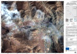
China - Yushu Prefecture - P04 - Damage Assessment Map - Detail - Gyegu
Creation Date 22. April 2010
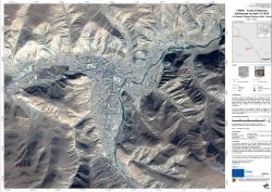
China - Yushu Prefecture - P03 - Geographic Reference Map - Detail - Gyegu
Creation Date 19. April 2010
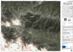
China - Yushu Prefecture - P02 - Damage Assessment Map
Creation Date 16. April 2010
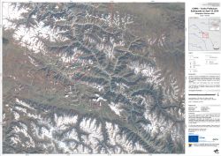
China - Yushu Prefecture - P01 - Geographic Reference Map
Creation Date 16. April 2010
Further links
undefined
