- Startseite
-
About us
-
Crisis Information
- Crisis Information
- Overview
- Mapping and Exercises
- Monitoring Services
-
Services and Projects
-
Latest
- EnglishDeutsch
- Accessibility
- Press
Flood in Slovenia, September 2010
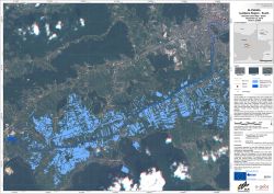
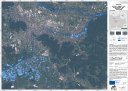
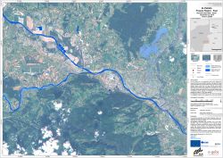
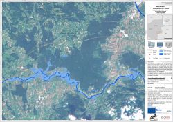
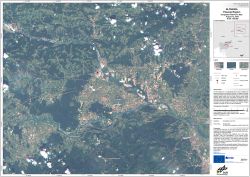
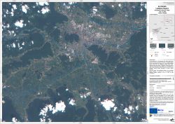
undefinedDue to heavy rainfall since September 17, 2010 large areas in Slovenia are affected by floods. The most affected areas are the capital Ljubljana and its surroundings as well as the region Posavje in the south-eastern part of Slovenia. Thousands of people have been affected or are threatened by water. Many roads and houses in a number of towns and villages are flooded. ZKI provides Reference and Flood Maps in the framework of the GMES Emergency Response project SAFER with funding from the European Community's Seventh Framework Programme.
Products
Slovenia - P03 - Ljubljana South - Flood as of September 22, 2010 - Disaster Extent Map - Detail
Creation Date 23. September 2010
Slovenia - P04 - Ljubljana East - Flood as of September 22, 2010 - Disaster Extent Map - Detail
Creation Date 23. September 2010
Slovenia - P06 - Posavje East - Flood as of September 22, 2010 - Disaster Extent Map - Detail
Creation Date 23. September 2010
Slovenia - P05 - Posavje West - Flood as of September 22, 2010 - Disaster Extent Map - Detail
Creation Date 23. September 2010
Slovenia - P02 - Posavje - Geographic Reference Map
Creation Date 22. September 2010
Slovenia - P01 - Ljubljana - Geographic Reference Map
Creation Date 21. September 2010
Further links
undefined
