- Startseite
-
About us
-
Crisis Information
- Crisis Information
- Overview
- Mapping and Exercises
- Monitoring Services
-
Services and Projects
-
Latest
- EnglishDeutsch
- Accessibility
- Press
Mudflood in Hungary, October 2010
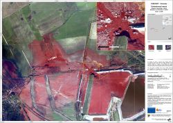
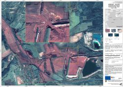
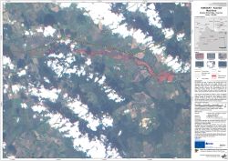
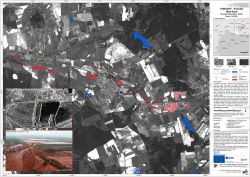
undefinedOn October 04, 2010, a reservoir dam holding waste of an aluminium plant broke near the village Kolontár in the Veszprém district of Hungary. The emergent mud flood mixed with flood water from a stream and swept through the villages Kolontár, Devecser and Somlóvásárhely and the surrounding country. ZKI provides Reference and Flood Maps in the framework of the GMES Emergency Response project SAFER with funding from the European Community's Seventh Framework Programme.
Products
Hungary - Kolontár - P04 - Mud flow - Disaster Extent Map - Detail - 3K camera
Creation Date 04. January 2011
Hungary - Kolontár - P03 - Embankment breach - Disaster Extent Map - Detail
Creation Date 11. October 2010
Hungary - Kolontár - P02 - Mud flow - Disaster Extent Map - Overview
Creation Date 11. October 2010
Hungary - Kolontár - P01 - Mud flow - Disaster Extent Map - Detail
Creation Date 11. October 2010
Further links
undefined


