- Startseite
-
About us
-
Crisis Information
- Crisis Information
- Overview
- Mapping and Exercises
- Monitoring Services
-
Services and Projects
-
Latest
- EnglishDeutsch
- Accessibility
- Press
Floods in Croatia
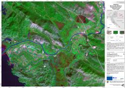
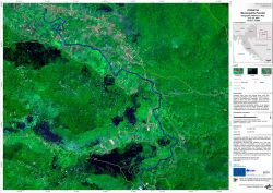
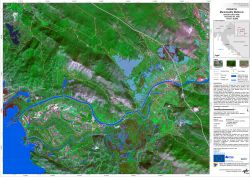
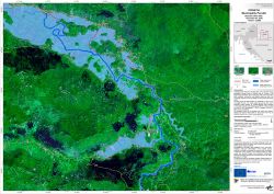
undefinedIncreased water inflow from storage lakes, snow melt and strong precipitation caused floods in various parts of Croatia in the beginning of December, 2010. Numerous roads and towns have been inundated. Among the most affected areas are the surroundings of Metkovi? and the county of Lika-Senj. ZKI provides Reference and Flood Maps in the framework of the GMES Emergency Response project SAFER with funding from the European Community's Seventh Framework Programme.
Products
Croatia - P02 - Metkovic - Geographic Reference Map
Creation Date 06. December 2010
Croatia - P01 - Perusic - Geographic Reference Map
Creation Date 06. December 2010
Croatia - P04 - Metkovic - Flood as of December 03, 2010 - Disaster Extent Map
Creation Date 04. December 2010
Croatia - P03 - Perusic - Flood as of December 03, 2010 - Disaster Extent Map
Creation Date 04. December 2010
Further links
undefined
