UEFA Champions League final, 19 May 2012, Munich, Germany
21. May 2012
UEFA Champions League final, 19 May 2012, Munich, Germany
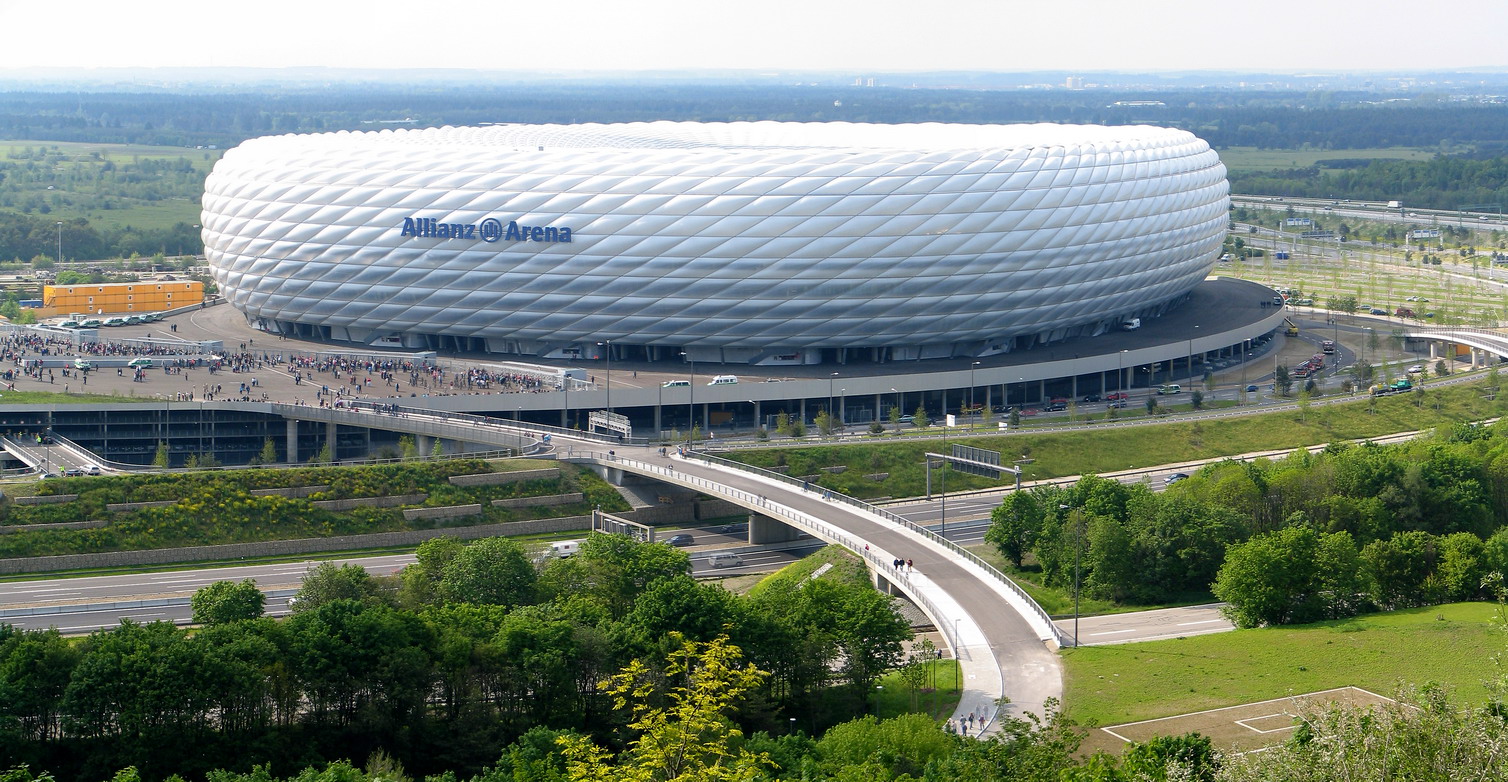
Panorama photo of the Allianz Arena.
Credit:
Patrick Huebgen/Wikimedia Commons
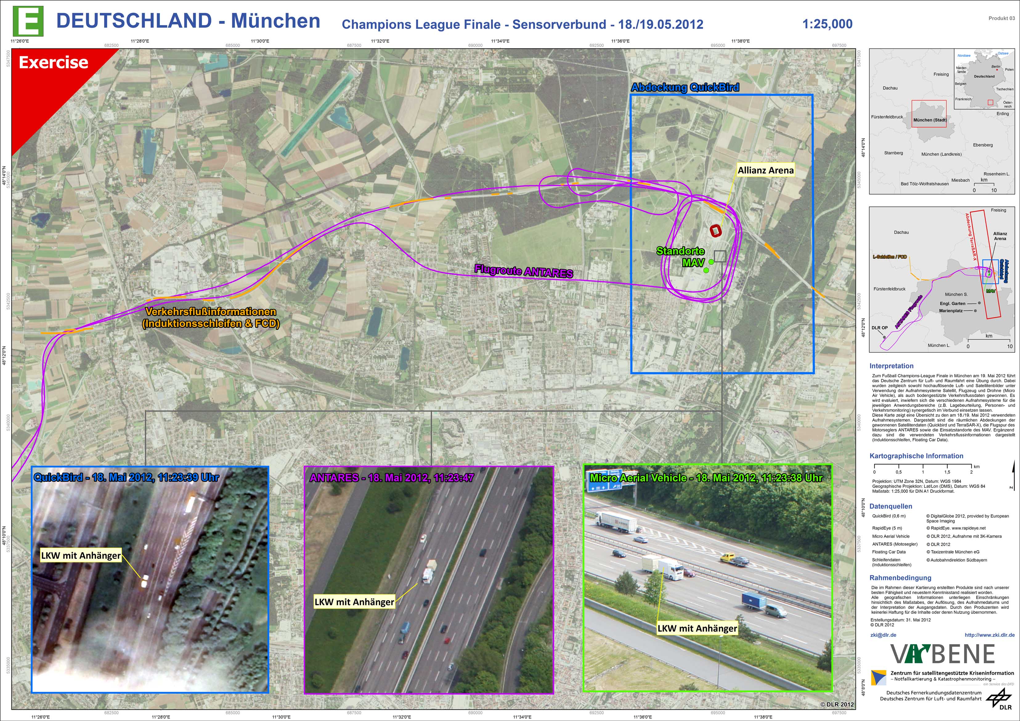
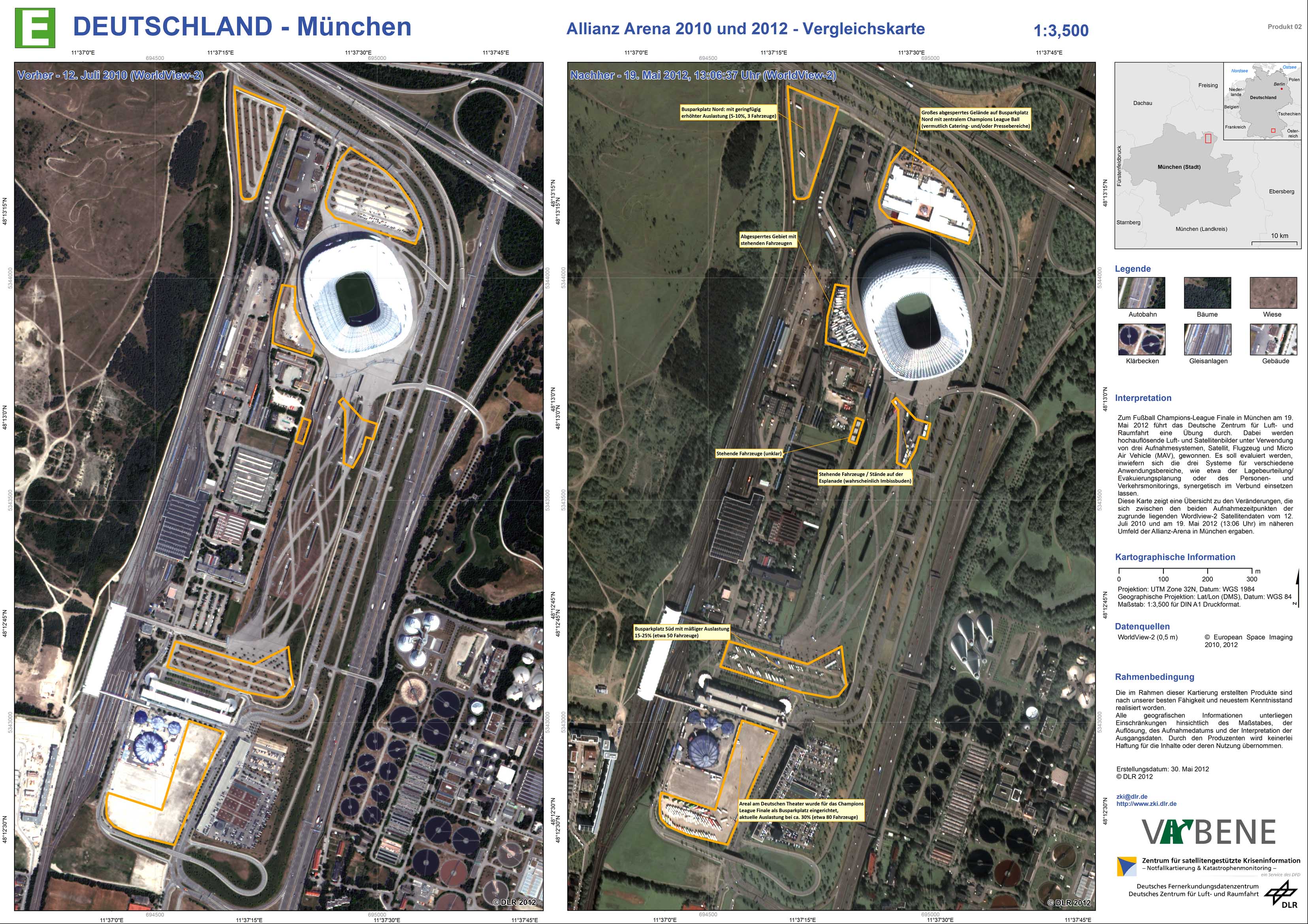
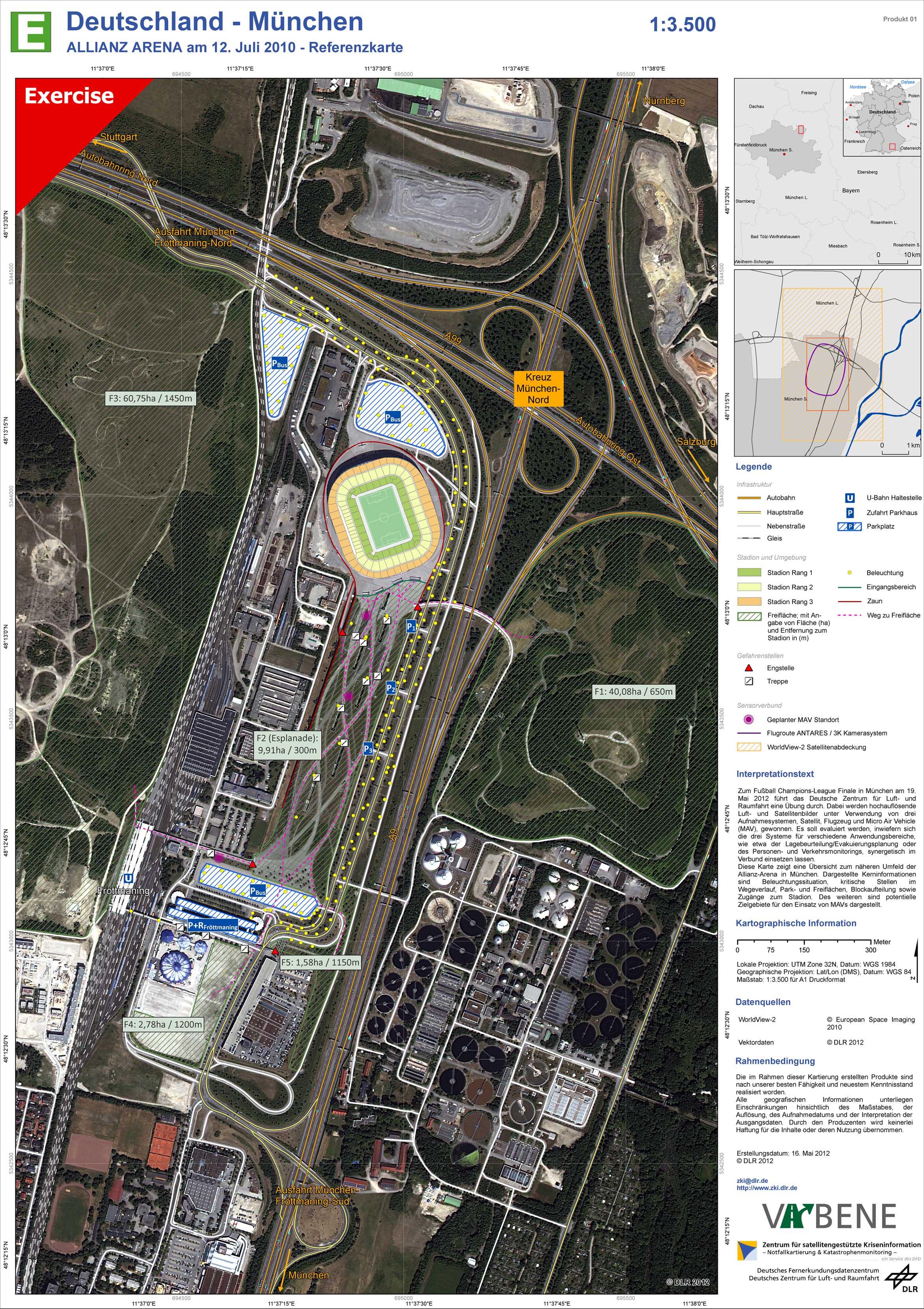
During the UEFA Champions League final on 19 May 2012 in Munich, Germany, the German Aerospace Centre conducted an exercise in cooperation with BBK Germany. During this exercise very high resolution imagery were acquired simultaneously applying three different sensor plattforms: Satellite (TerraSAR-X, Quickbird and Worldview-2), Airplane (the motor glider Antares) and Micro Air Vehicle (MAV). In addition ground based traffic data based on floating car data and inductions loops were used. The aim of this campaign was to evaluate the potential of a combined and synergistical use of these different sensor systems in order to support traffic and person monitoring and to analyse complex situations and prepardness including evacuation planning.