08. October 2016

Hurricane Matthew in the Dominican Republic

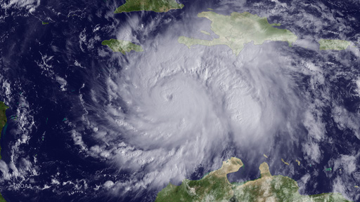
Hurrican Matthew on October 3, 2016.
Credit:
NOAA/Wikimedia Commons

On October 05, 2016, the International Charter 'Space and Major Disasters' was activated for floods and landslides in the Dominican Republic caused by Hurricane Matthew. The DLR/ZKI is responsible for the Project Management of this Charter Call and supports the National Emergency Commission of the Dominican Republic with the provision of satellite data and value added disaster information products.

Products

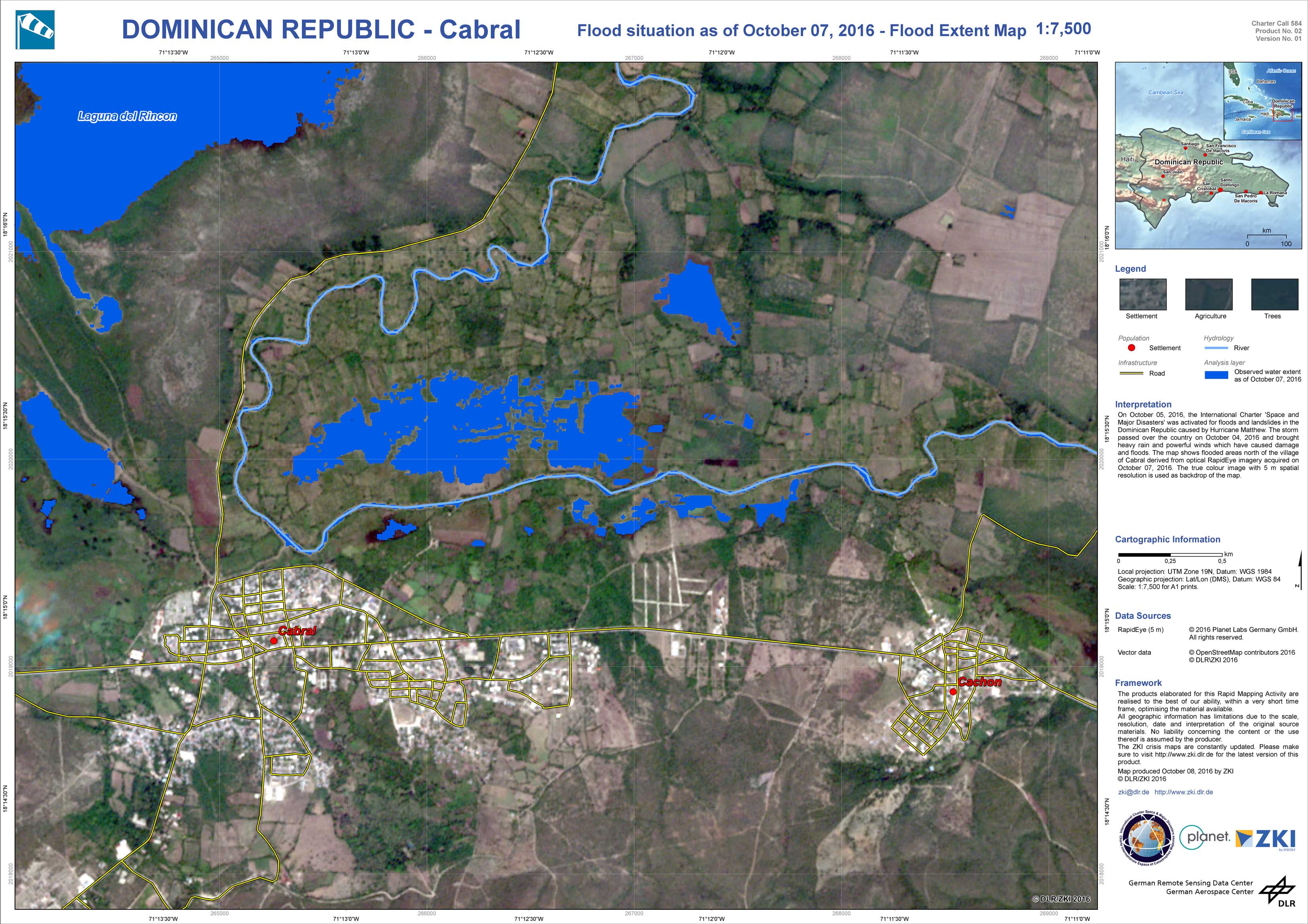
Dominican Republic - Cabral - P02 - Flood situation as of October 07, 2016 - Flood Extent Map

Creation Date 10. October 2016

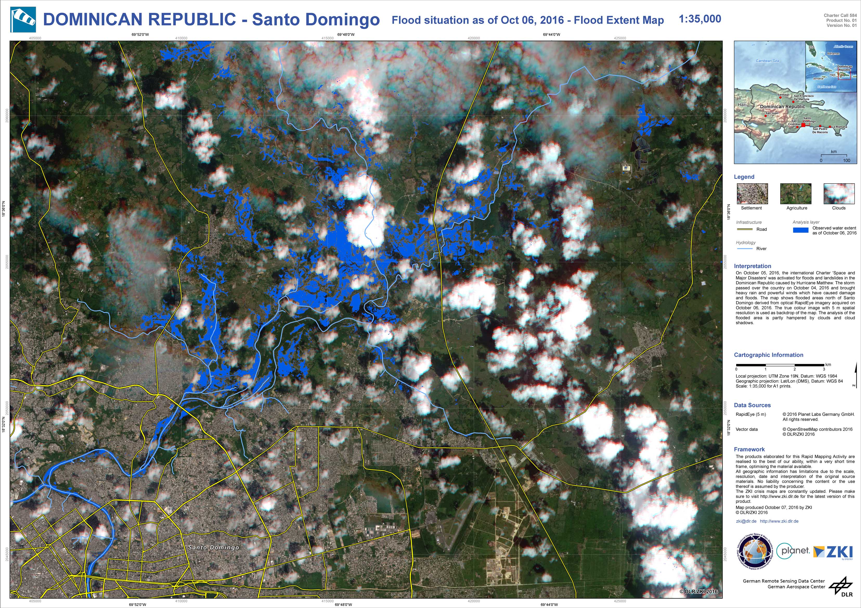
Dominican Republic - Santo Domingo - P01 - Flood situation as of Oct 06, 2016 - Flood Extent Map

Creation Date 10. October 2016

undefined