Artificial Intelligence supports the mapping of damages in Moria
08. September 2020
Artificial Intelligence supports the mapping of damages in Moria
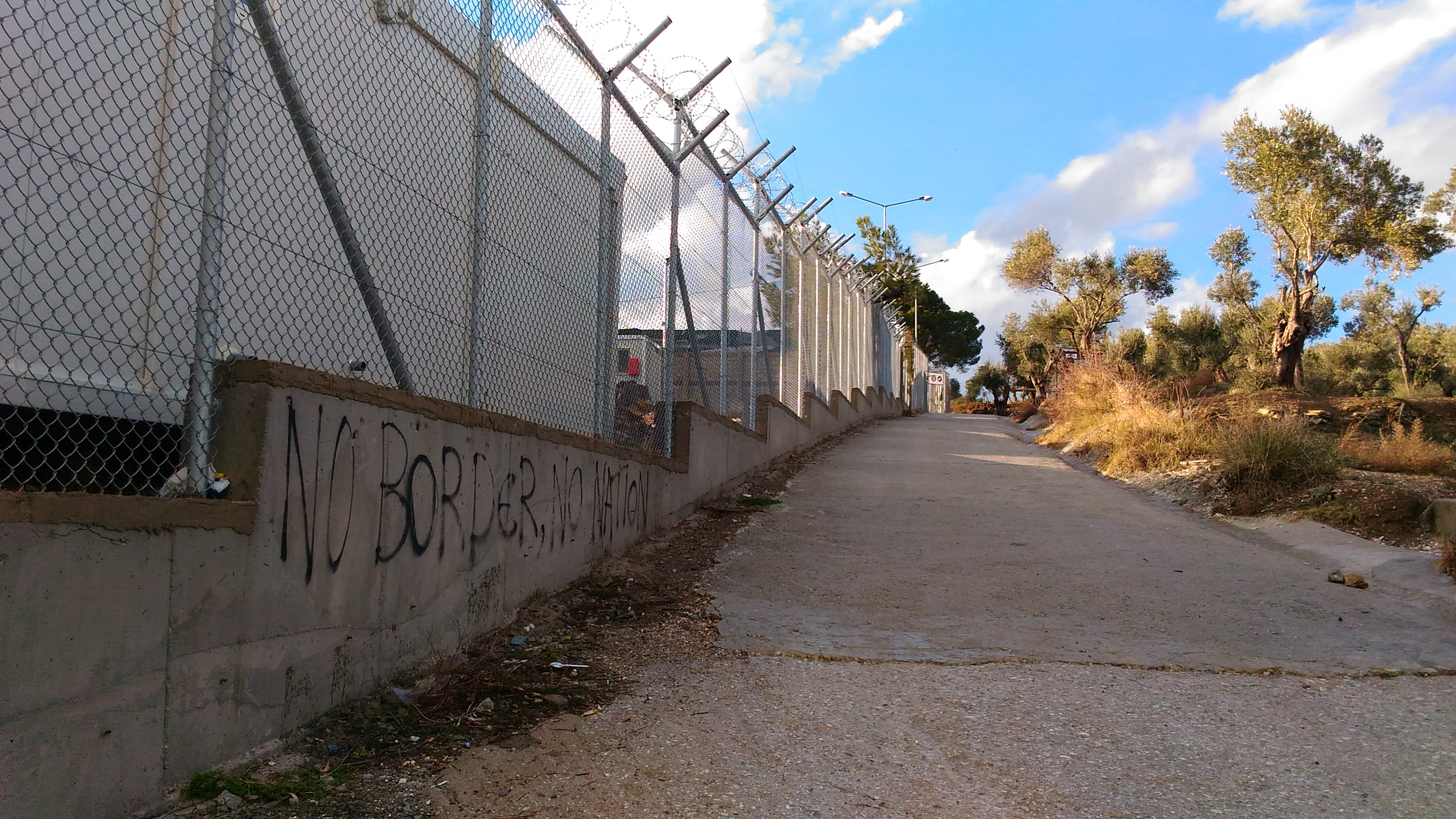
Due to the high number of refugees, tent areas developed around the official camp area. By L-BBE, CC BY 3.0, https://commons.wikimedia.org/w/index.php?curid=59513154
Credit:
DLR (CC BY-NC-ND 3.0)
The refugee camp on Lesbos is the first place to go for many refugees heading towards Europe. By Cathsign - Own work, CC BY-SA 4.0, https://commons.wikimedia.org/w/index.php?curid=57090575
Credit:
DLR (CC BY-NC-ND 3.0)
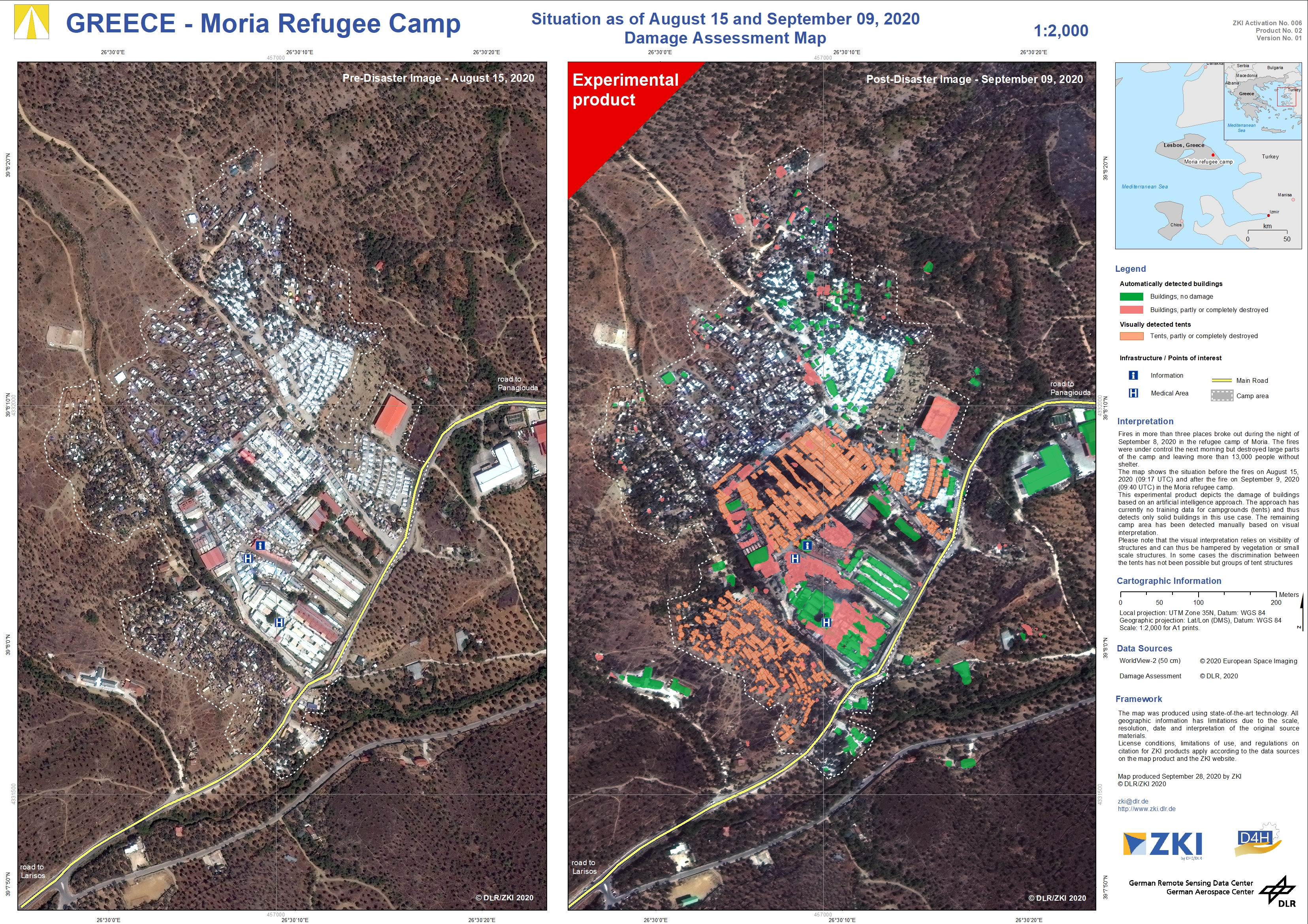
Europe’s largest refugee camp which has originally been designed to give shelter to less than 3,000 people kept on growing to around 12,000 refugees in September 2020. As a result, unofficial campgrounds grew around Moria with people living in flammable tarpaulin tents and provisional huts. The situation escalated when fires broke out on at least three different places in the camp during the night of September 8, 2020. The fires destroyed large parts of the camp (both official and unofficial campground) and forced thousands of people to leave their shelters.
The maps provided by ZKI show the extent of destruction after the fires on September 9, 2020 compared to a pre-situation image from August 15, 2020. The used WorldView-2 imagery offers a spatial resolution of 50 cm. The affected camp areas were mapped by an Artificial Intelligence approach that was trained to detect destroyed buildings. Since the algorithm is not yet trained to detect tent areas, those were manually captured by visual analysis. This product indicates how AI can support emergency mapping supporting and accelerating the mapping process. Since the algorithm is still under development, the provided products are marked as being “experimental” and make no claim to be complete.
The maps are supposed to show I) the current possibilities and limitations of the AI approach and II) a detailed overview over the affected and destroyed camp area at Moria refugee camp. An overview map of the post-fire situation showing detailed views on undestroyed and destroyed areas for unofficial and official camp areas (P01) is available as well as a comparison between the situation before and after the fires (P02). In both cases the automatically detected building areas are distinguished from the manually captured tent areas by color.
Products
Lesbos, Greece – Fires in the Moria refugee camp – P02 – Damage assessment map as of August 15, and September 9, 2020 – Worldview-2