- Startseite
-
About us
-
Crisis Information
- Crisis Information
- Overview
- Mapping and Exercises
- Monitoring Services
-
Services and Projects
-
Latest
- EnglishDeutsch
- Accessibility
- Press
DLR supports detection of Cyclone Eloise’s impacts on Eswatini

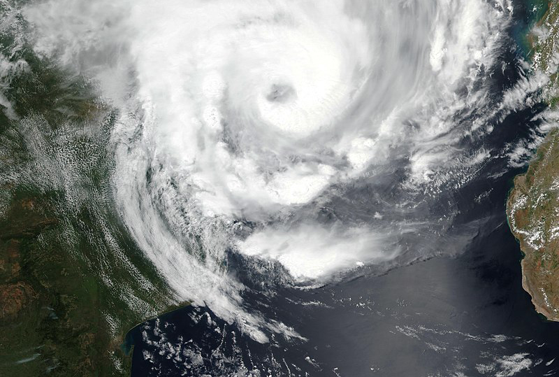
Several Southern African countries were hit by Cyclone Eloise, which made landfall near Beira, Mozambique on 23rd of January 2021. Although it mostly dissipated on its path over Southern Africa, several thousands of people are affected by its impacts. Amongst the most affected countries, Eswatini has been struck by strong winds, heavy rainfalls and rising river water levels.
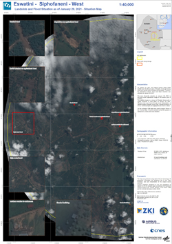
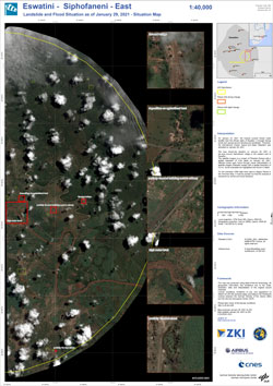
As part of the International Charter Space and Major Disasters, DLR supports the mapping by supplying TerraSAR-X data. In addition, different flood masks were derived using automatic processors within a very short time frame with the available material. Areas of high interest are further highlighted on two Pleíades scenes that allow for a further impression of the cyclones impact.
Products
Eswatini - Siphofaneni - West – P02 – Landslide and Flood Situation as of January 29, 2021 – Situation map
Creation Date 29. January 2021
Eswatini - Siphofaneni - East – P01 – Landslide and Flood Situation as of January 29, 2021 – Situation map
Creation Date 29. January 2021
Further links


