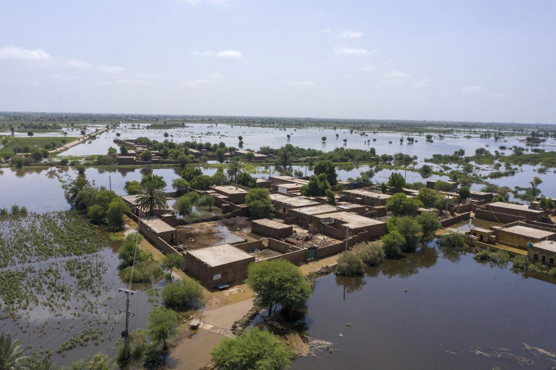
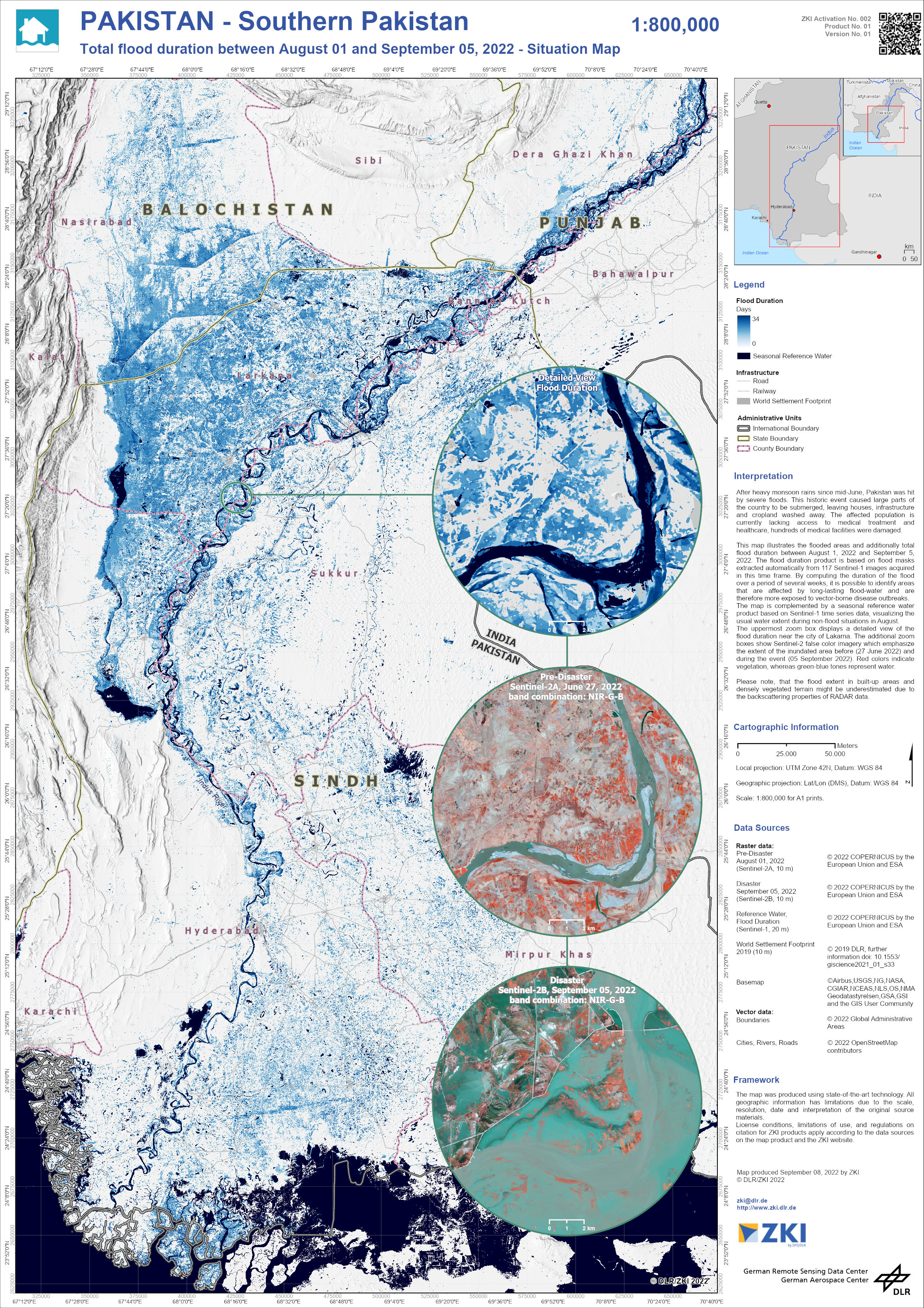
After heavy monsoon rains since mid-June, Pakistan was hit by severe floods. This historic event caused large parts of the country to be submerged, leaving houses, infrastructure and cropland washed away. The affected population is currently lacking access to medical treatment and healthcare, hundreds of medical facilities were damaged.
This map illustrates the flooded areas and additionally the total flood duration between August 1, 2022 and September 5, 2022. The flood duration product is based on flood masks extracted automatically from 117 Sentinel-1 images acquired in this time frame.
By computing the duration of the flood over a period of several weeks, it is possible to identify areas that are affected by long-lasting flood-water and are therefore more exposed to vector-borne disease outbreaks.
The map is complemented by a seasonal reference water product based on Sentinel-1 time series data, visualizing the usual water extent during non-flood situations in August.
Products
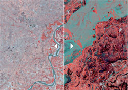
Comparison of inundated areas between 27 June 2022 (Sentinel 2A) and 05 September 2022 (Sentinel-2B)
Creation Date 08. September 2022
Click on the thumbnail to open the comparison.
Pakistan - Southern Pakistan - Flood - P01 - Total Flood Duration between August 01 and September 05 2022 - Situation Map