- Startseite
-
About us
-
Crisis Information
- Crisis Information
- Overview
- Mapping and Exercises
- Monitoring Services
-
Services and Projects
-
Latest
- EnglishDeutsch
- Accessibility
- Press
Floods in Chad: ZKI supports with information on flood development

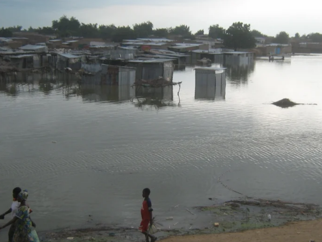
Persisting heavy rainfalls since August led to severe flooding in southern and central Chad. In addition to the exceptionally high rainfall, the country has been partially affected by storms and flash floods. According to the United Nations, this affected more than 1 million people and destroyed nearly 500,000 hectares of agricultural land.
The government of Chad declared a state of emergency due to the devastating consequences of the floods and is currently trying to provide shelter, food and sanitation to the population. However, Chad is one of the poorest countries in the world and the majority of the population relies on agriculture for their livelihood. The impact of the floods will exacerbate the already existing food insecurity.
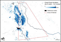
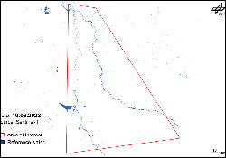
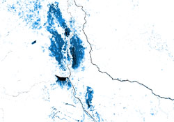
The analyses were carried out within a few hours at the request of the German Foreign Office and forwarded to various institutions such as different embassies in Chad as well as UN agencies.The ZKI derived flood information for the affected regions in Chad from satellite data (Sentinel-1) using automated methods for different points in time. Additionally, the duration of the flood was assessed for the time from July to October. The generated water masks and flood duration information, which illustrate the extent of the water areas, are available for download below.
The German Foreign Office and DLR-ZKI are already working together on information about the region as part of the joint IF-Bund project 'Anticipation of Conflicts using Information from Satellites' (ACIS).
Products
Chad / Northern Cameroon/ Southwest Chad – Flood – P02 – Flood duration between 25.07.2022 and 05.10.2022 - situation map
Creation Date 24. October 2022
Chad / Northern Cameroon/ Southwest Chad – Flood – P01 – Flood mask between 19.06.2022 and 05.10.2022 - situation map
Creation Date 24. October 2022
Chad / Northern Cameroon/ Southwest Chad – Flood – P03 – Flood duration between 25.07.2022 and 15.10.2022 - GeoTiff
Creation Date 18. October 2022
Further links


