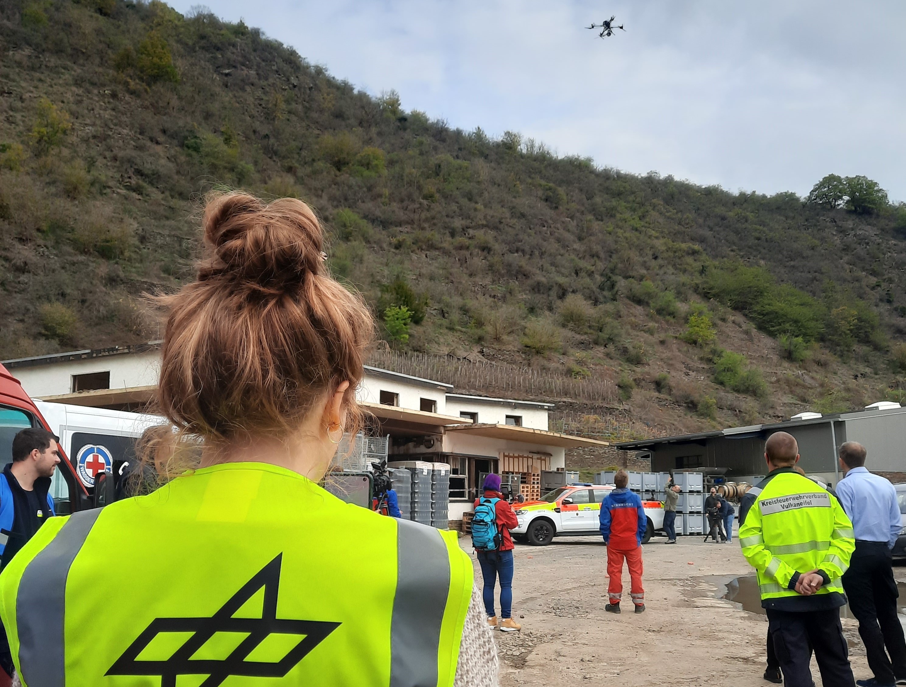
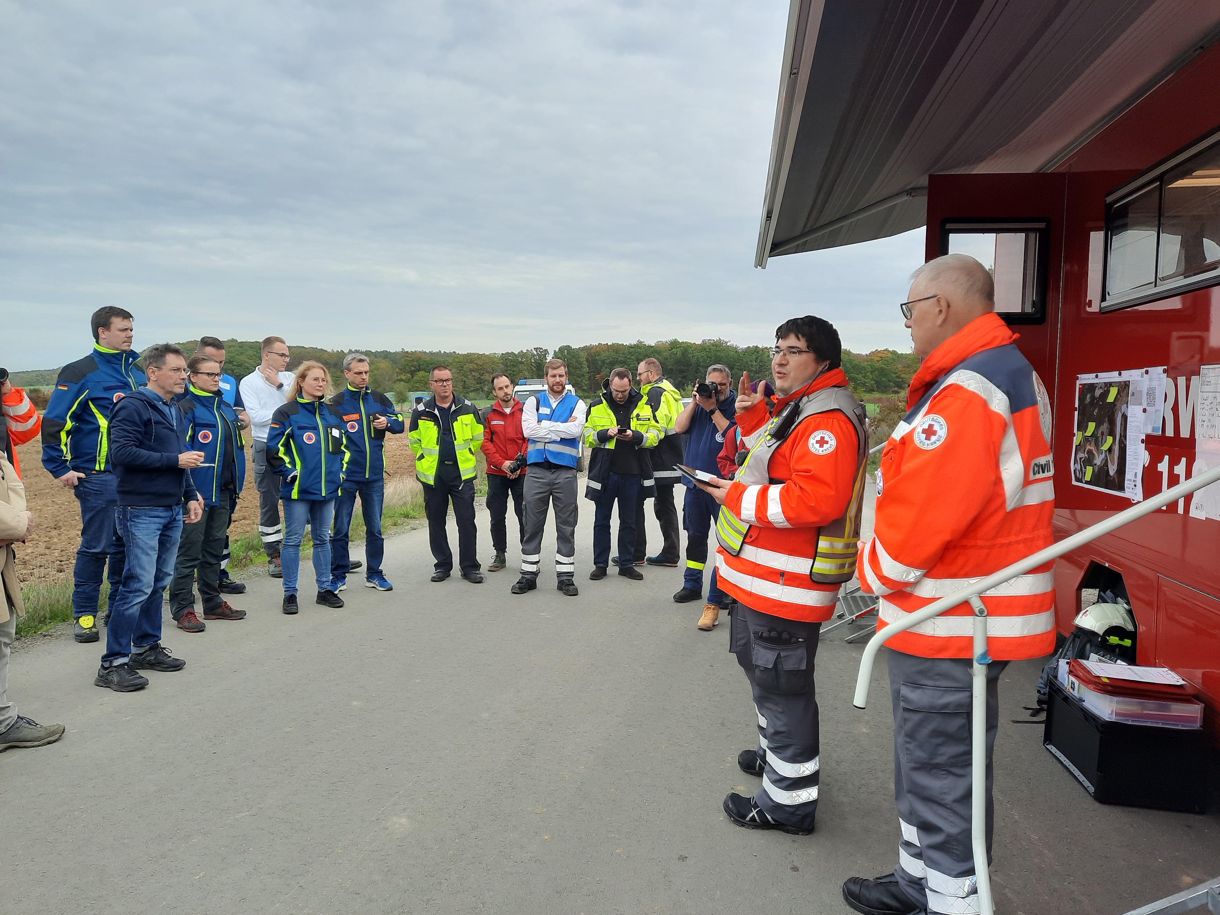
On October 28 and 29, 2022, a drone exercise took place for the second time in the Ahr Valley under the joint management of the Bavarian Red Cross (BRK), Department Rettungsdienst – Sicherheitsforschung and the DLR/ZKI.
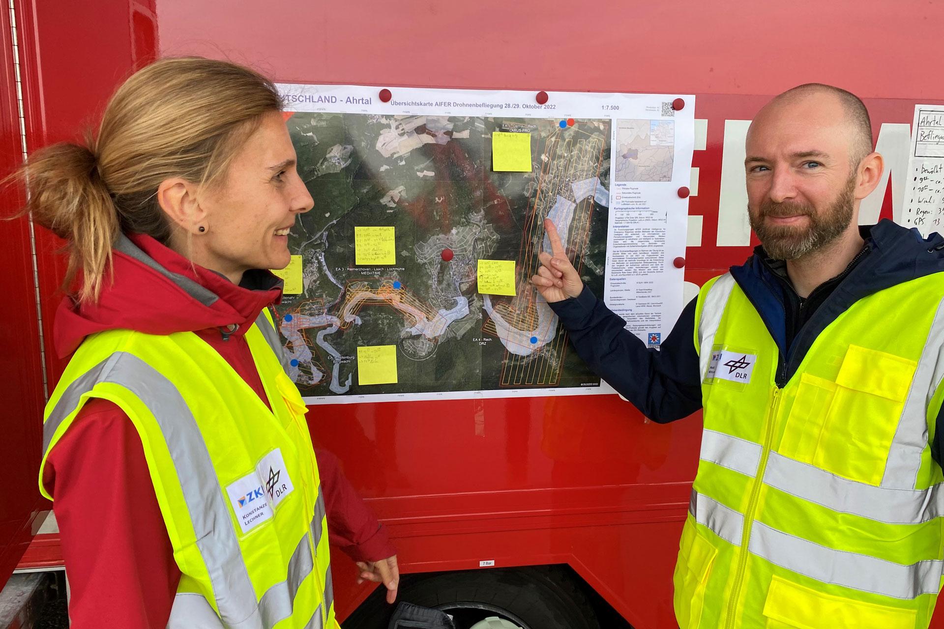
Four different drones from four different research projects were operating in the villages of Altenburg, Altenahr, Reimerzhoven, Rech and Dernau. During the exercise, data was recorded via pre-planned flight routes and handed over directly afterwards to the colleagues of the ZKI for ad-hoc analysis and current situation assessment.
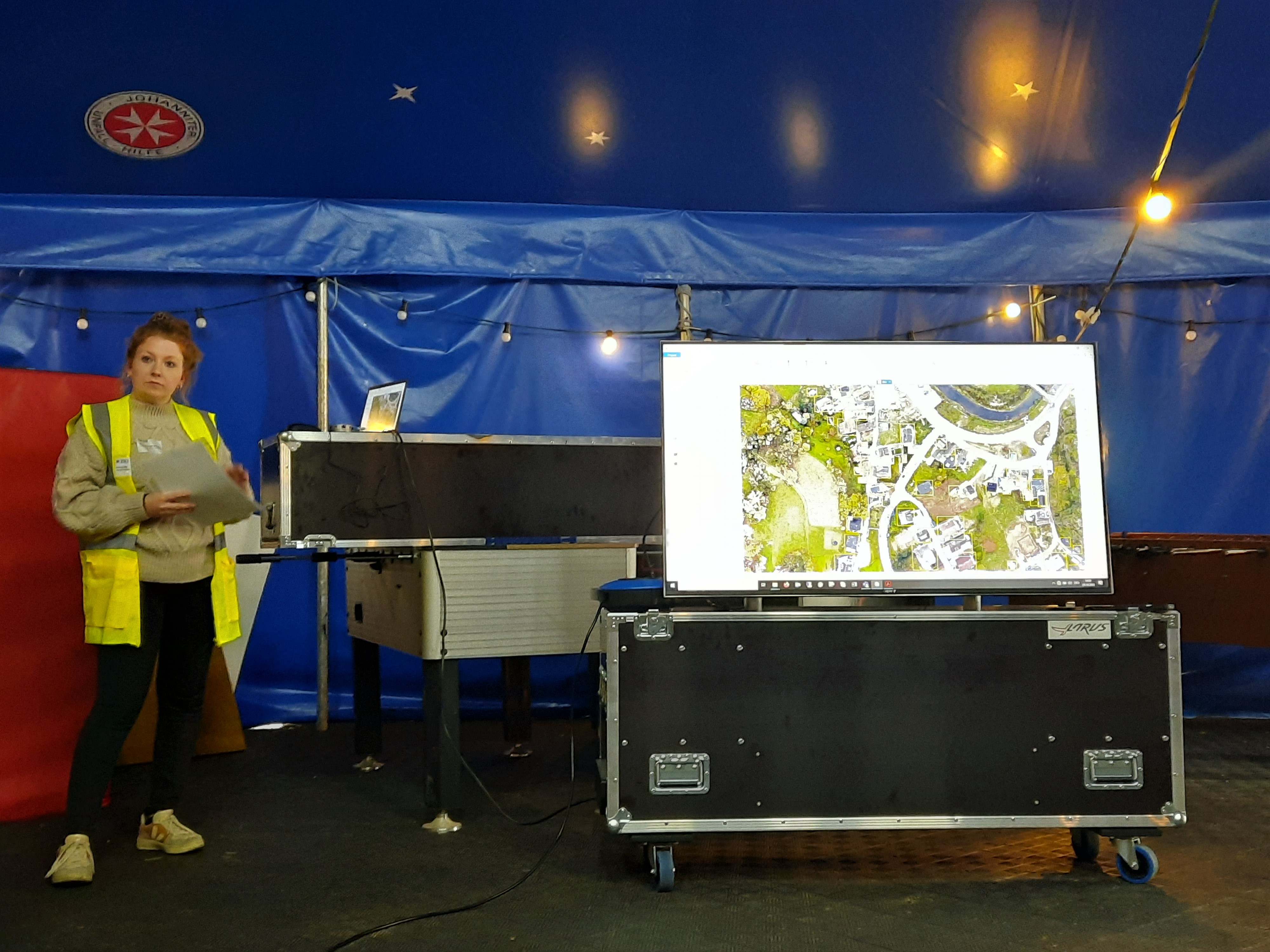
The ZKI team used the generated drone images to create digital orthophotos on site and automatically detected buildings and vehicles using artificial intelligence (AI) methods. The use of automated AI methods is an important step toward being able to derive information from satellite, aerial photo and drone data quickly and for large areas. In this manner, for example, exposed objects such as buildings or vehicles and changes such as building damage can be derived from the image data. The newly acquired drone data thus also serve as a basis for the further development of automatic image evaluation in case of disasters.
The ad-hoc generated situation information was integrated into maps and compared with images taken before and after the flood. The newly created map products were printed out on site and distributed to the emergency forces involved. A major challenge was the transmission of large amounts of data in a short time. For this reason, various transmission methods (exchange via hard disk, telecom and Starlink communication) were successfully tested in the field. The detailed analyses (of response times, data volumes, etc.) will be carried out after the exercise.
In a follow-up to the exercise, among other things, terrain models and 3D models are created from these data in order to gain further information on the local conditions and to be able to present a more detailed situation picture. In this new complex situation picture, it will also be possible in particular to compare the various images taken at different points in time and to detect changes - both damage and reconstruction work.
The drone flight took place within the framework of the German-Austrian joint project AIFER (Artificial Intelligence for Emergency Response). AIFER develops machine learning methods to automatically extract and intelligently fuse information from satellite, aerial photo and drone data as well as geo-social media. Specifically, hazard areas (for example, flood plains), exposed objects (for example, buildings or vehicles), and changes (for example, building damage) are derived from the image data. The information is integrated into maps and web applications and linked to form a comprehensive and highly up-to-date situation picture. This forms a basis for targeted decision support for authorities and organizations with security tasks and rescue forces on site.
The data and information collected in the exercise will be integrated into ZKI maps and combined into a comprehensive situation picture within a ZKI web application. As an example, 2 ZKI map products are available. Further ZKI maps as well as access to the ZKI web application are available to authorities and organizations with security tasks as well as to other emergency forces from civil protection and disaster control. Please contact us by e-mail (zki[at]dlr.de) or by telephone.