Automated Drone Image Analysis and Processing for THW Emergency Forces
16. April 2026
Automated Drone Image Analysis and Processing for THW Emergency Forces
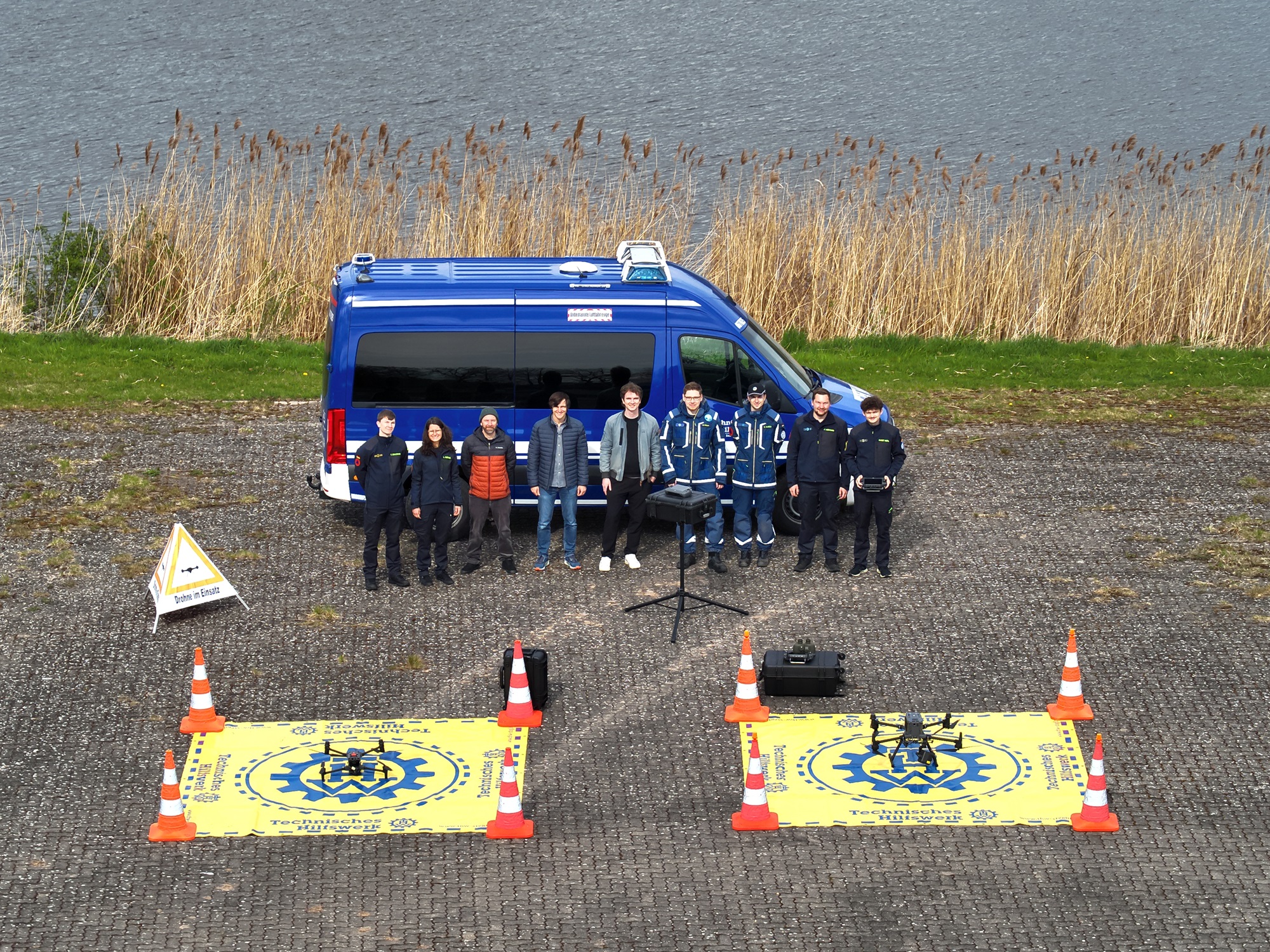
Final ADRET practical test at the THW training centre in Hoya with THW research, DLR employees and drone units,
Credit:
THW
On 16 April, a major practical test took place at the THW training site in Hoya. The procedures developed in ADRET were tested directly on site, from recording to image analysis, together with THW emergency personnel and employees of DLR and THW Research. The individual components of the process and the interfaces developed can be viewed interactively in a DLR Story Map for the THW and are therefore also available to other emergency services.
Background
The Federal Agency for Technical Relief (THW) now deploys Unmanned Aerial Systems (UL) throughout Germany in order to be able to act quickly in scenarios such as floods, destroyed buildings, searches for people and forest fires. During missions, the drone pilots usually view the drone's live camera image in order to obtain localised situation information. The drone images are not usually analysed over a wider area. In the joint project ADRET (Automated Drone Image Analysis and Processing for THW Emergency Forces), methods from earth observation for crisis mapping and subsequent image evaluation were adapted to drone use. Together with selected THW drone teams, the methods were tested in practice and further developed. The results are modular practical guidelines for structured data acquisition, processing and AI evaluation for use. In future, AI models can be used independently on site by THW emergency services and support, for example, damage mapping in flood areas.
„The guidelines are easy to use and a great help for our operations“, was the feedback from one of the THW drone pilots involved.