Exercise: ZKI supports BRK Water Rescue during flooding exercise in Munich
04. May 2024
Exercise: ZKI supports BRK Water Rescue during flooding exercise in Munich
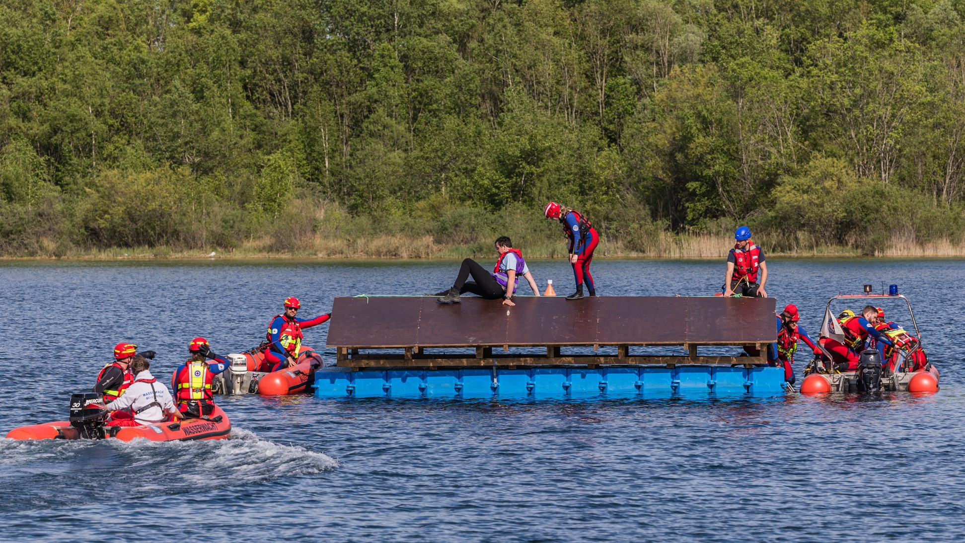
Rescue of people from a floating roof.
Credit:
@Wasserwacht München 2024
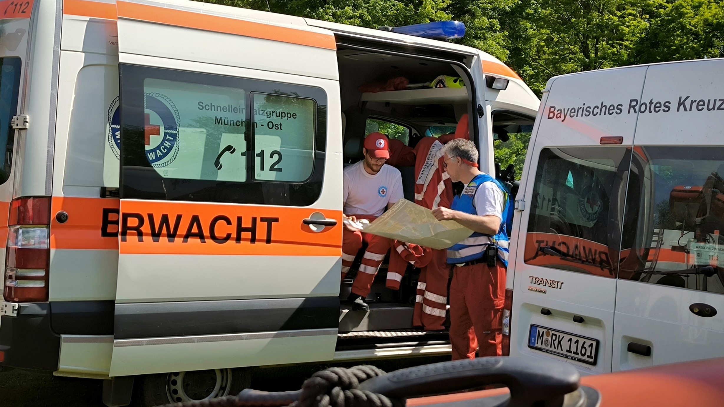
Mission planning with ZKI maps.
Credit:
@Wasserwacht München 2024
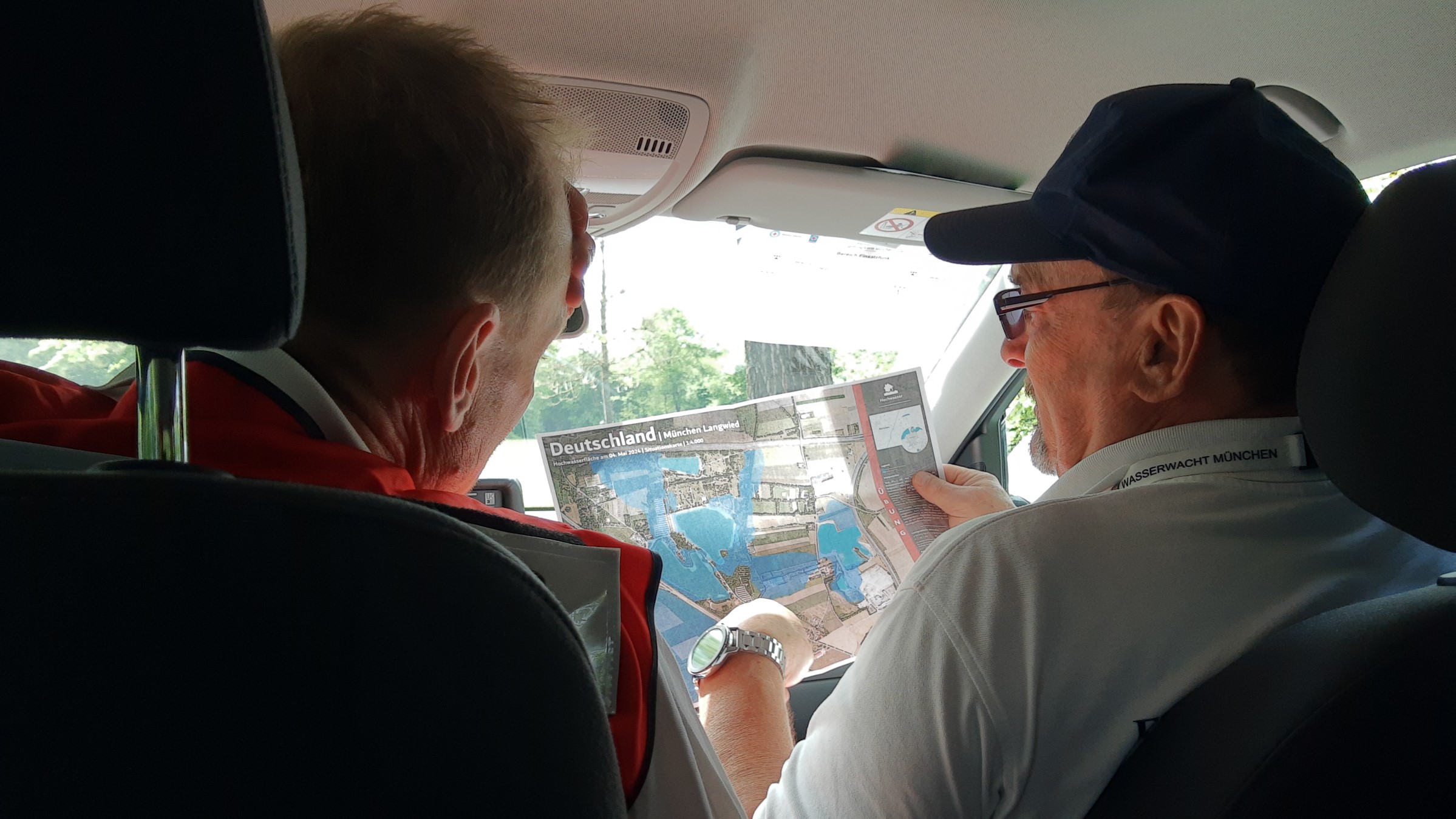
Site reconnaissance with ZKI site map.
Credit:
@Wasserwacht München 2024
From 4 - 5 May 2024, the Munich Water Rescue and the Munich Mountain Rescue of the Bavarian Red Cross organised a large-scale flood exercise in the Langwieder Seenkette and Riemer See areas. A total of around 100 volunteer members from the Feldmoching, Lohhof, München Mitte, Riem, Unterföhring and Unterhaching local groups and the Munich Mountain Rescue took part in the intensive exercise, which lasted over 24 hours. The emergency services had to deal with various realistic scenarios, including the evacuation of a campsite using rescue boats, a search for missing persons with several drone groups on land and the rescue of several people from a floating house roof using a helicopter.
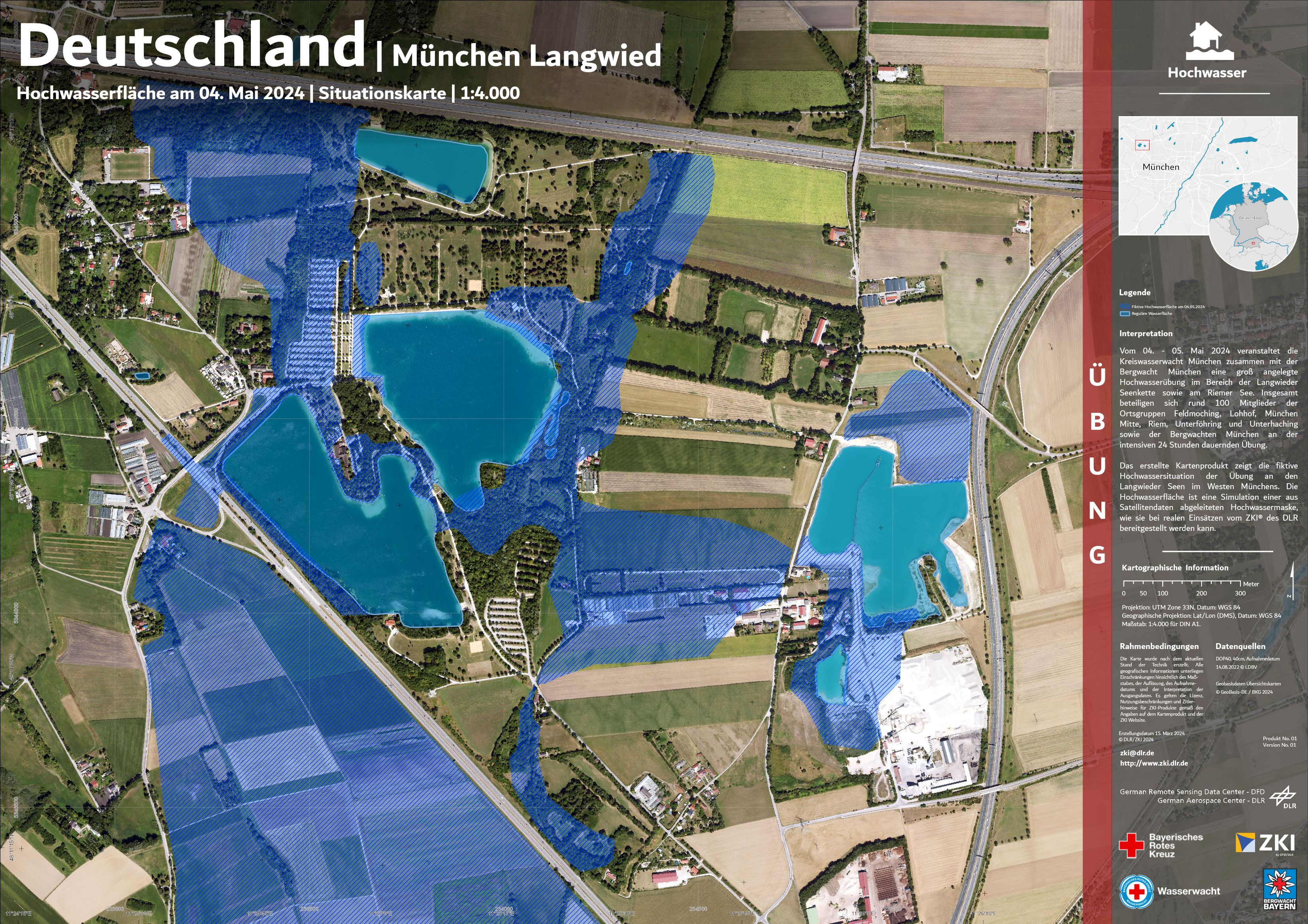
The created map product shows the fictitious flood situation during the exercise at the Langwieder lakes in the west of Munich. The flood area is a simulation of a flood mask derived from satellite data, as can be provided by DLR's ZKI® during real operations.
Products
Germany - Munich Langwied - Flooded area - Situation Map as of May 4th 2024