
Hurricane Florence – DLR provides satellite information
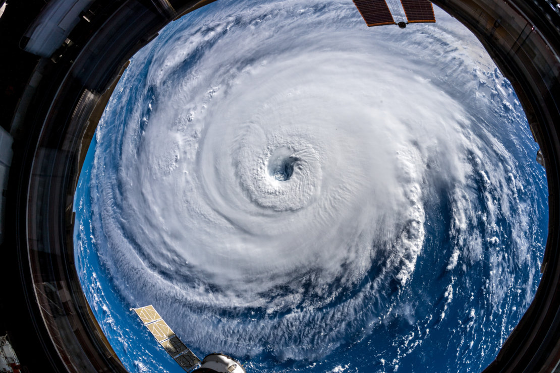
Hurricane Florence - photo taken by Alexander Gerst on 12.09.2018 from the ISS(©ESA/NASA–A. Gerst)
Credit:
DLR (CC BY-NC-ND 3.0)
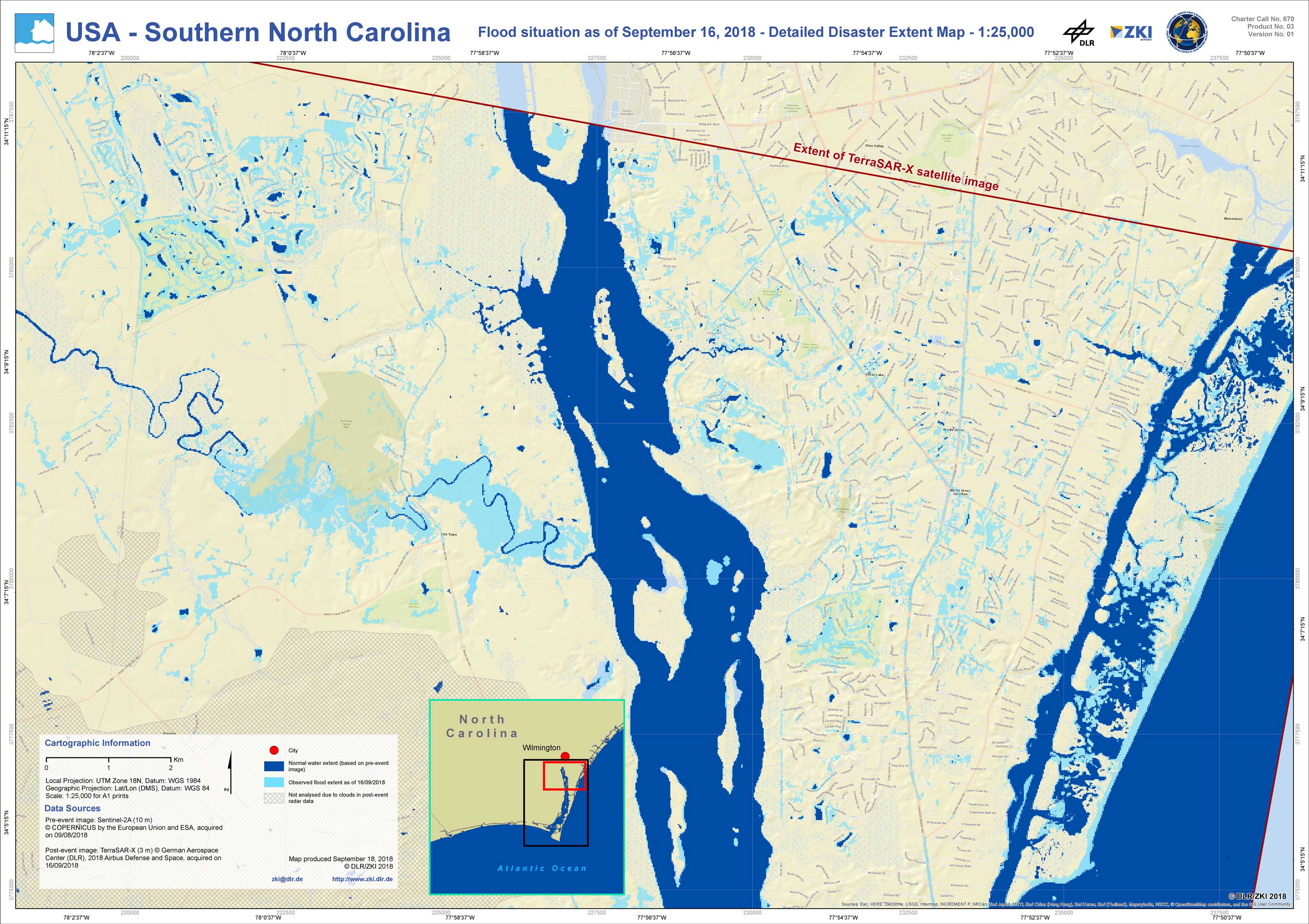
USA - P03 - Southern North Carolina - Flood situation as of September 16, 2018 - Detailed Disaster Extent - Mapsheet North
Creation Date 18. September 2018

USA - P02 - Southern North Carolina - Flood situation as of September 16, 2018 - Detailed Disaster Extent - Mapsheet South
Creation Date 18. September 2018

USA - P01 - Southern North Carolina - Flood situation as of September 16, 2018 - Disaster Extent Map
Creation Date 18. September 2018